Providing the expertise to make your project a success.
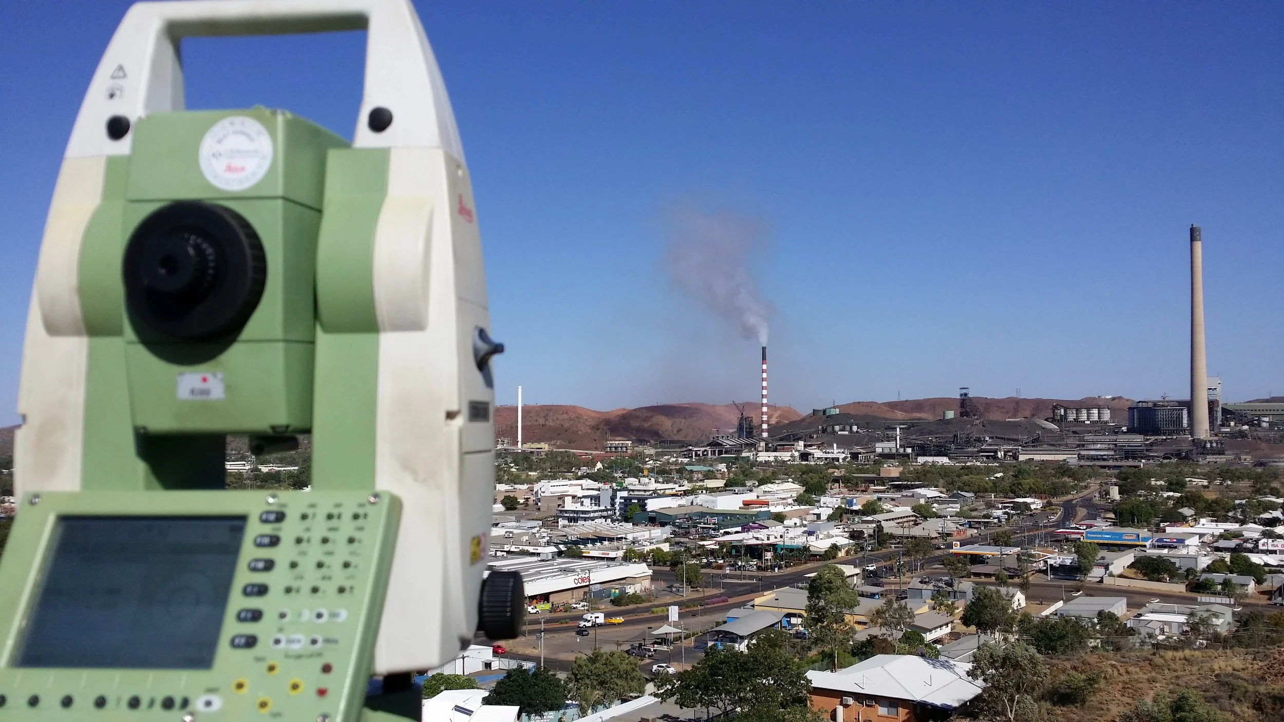
Survey & Alignment Services consults and assists with the delivery of engineering and industrial projects ranging in size, complexity and value for a variety of clients - both private and corporate. We proudly offer our services including aerial mapping, land, engineering and industrial expertise to all regional and metropolitan areas of Australia.
Survey & Alignment Services is a leading Tasmanian-based multi-disciplinary surveying and industrial alignment company. We service a national client base, offering our expertise in planning, surveying, civil engineering and project management to assist in the successful delivery of major projects across Australia.
Aerial Mapping & Inspection
Survey & Alignment Services is a CASA licensed drone operator with a high quality and accurate multirotor platform for capturing photographs and footage of a variety of structural elements and hard to access sites for real estate, development, mining and more. Learn more...
LAND
There are several regulatory requirements governing the surveying of land in Australia so it is important to consult an industry-recognised and qualified land surveyor when considering the development of your most valuable asset. Click here to learn more about SAS's Land Surveying services...
ENGINEERING
Topographic Surveys are used to identify and map the contours of the ground and existing features such as trees, buildings, streets, walkways, manholes, utility poles, retaining walls and much more. SAS provides its clients with job-specific survey support. Find out more about the services we offer clients ....
Laser Scanning & Analysis
INDUSTRIAL
Survey & Alignment Services employ the latest terrestrial laser scanning (TLS) technology to provide a variety of deliverables for our clients. This technology allows us to acquire rapid and highly accurate 3D images detailing the surface of objects. Click here to learn more about this scanning analysis software ...
SAS tailors its industrial surveys to meet an individual client’s exact requirements. We are fastidious when it comes to details, understand accuracy and time constraints and employ the best techniques to achieve a client's desired outcome. Learn more about our industrial alignment services by clicking here ...


